
Leaving Plymouth COE campground in Washington state, Jan and I cross back over the Columbia River to Umatilla, Oregon for some grocery shopping. From there it is an easy connection to Route 730 and following the Columbia River to Route 12 east.
By the way, this section of our trek included , perhaps, the most time spent with no access to phone, internet, and even sometimes, satellite radio and GPS.

By the way, this section of our trek included , perhaps, the most time spent with no access to phone, internet, and even sometimes, satellite radio and GPS.


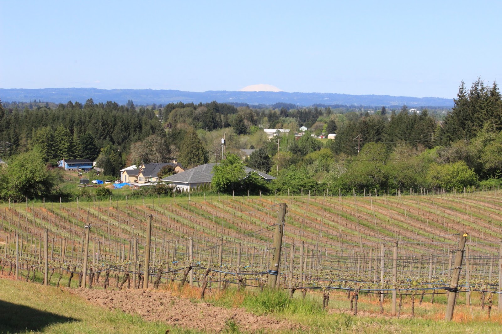
Shortly after entering Washington state again, we turn east on Route 12 while the Columbia River turns back west and then north towards Canada(upstream). Along the way , we stop in Walla Walla for our last wine tasting at Reininger Winery. Walla Walla was once mostly known for its sweet onions(Thank you Scott)--still being grown there. But now, it is perhaps known better as a great wine producing valley. Over the last few decades wine producing has grown to well over 200 vineyards. Their name wines are strictly from Walla Walla valley. And they also produce Helix wines which are from grapes from the larger Columbia River valley.

Another visit with interesting discussions about soil and climate.
Here in the tasting room , the counter is made from local basalt-the top polished to a high degree. The front of the counter is made from woven grape vines--first softened in water.

Besides the normal wines like Chardonnay, Rose, Cabernet Sauvignon, and Merlot; they also had some blends that were quite unusual. One, their red blend called CPR, was a blend of 7 varieties of grapes from 8 vintages.

Not too far past Walla Walla we made an overnight dry camping stop at Lewis and Clark Trail State Park.

Click on the picture to see the castle/house on the hill. This was along the Clearwater River.

Some of the road(Route 12) is narrow with rock ledges or steep sides.

We continue along Route 12 into Idaho and meet up also with the Clearwater River. We are back in Lewis and Clark territory, following their route back from the Pacific Ocean in 1805. The two border towns are Clarkston in Washington and Lewiston in Idaho. In Orofino Jan and I decide to try Dent Acres COE Park on the Dworshak Reservoir. As the crow flies , it is a short distance from town. But , there are no roads following that imaginary crow. It is about 20 miles to the park. 20 miles of steep, sharp curves. Horseshoe curves and 10 per cent grades . One of our most challenging roads. But worth the effort.

The dam was placed on the North Fork of the Clearwater River.
Boaters can travel up to 27 miles on this reservoir. They can camp along the way at primitive sites, refuel on the water, and catch the biggest small mouth bass in the state.

Jan and I really enjoy the views. This is from the campground looking back at the bridge leading to the campground.

Looking back at the reservoir. The water levels are purposely down to make room for the summer snow melt.

Eustis enjoys crossing bridges.

Yes, it rained. But, the low hanging clouds were interesting. There were only a few fishermen in the campground. They would leave early in the morning and return about 6pm or so. During the day , we could not see or hear them anywhere on the reservoir.

Scenes along the ride back to Route 12

Back on Route 12, we are now heading up towards Lolo Pass through the Bitteroot Mountains. We join the Lochsa River and the Lewis and Clark Scenic Highway.

Log cabin with a river view.


Along the way, the road follows the river with excellent views. There are a number of Kayakers and Rafters testing their skill among the rocks and rapids.

Lots of white water.
 Boy,those kayaks look small. By the way, the water was C-O-L-D!

 Boy,those kayaks look small. By the way, the water was C-O-L-D!

Wanna Ride?

There are a number of good National Forest Campgrounds along the route. But, we are early and most have not opened yet. Luckily, our favorite from a few years ago is open.

There are only a few in the campground when we arrive. Dry camping and once again, like Dent Acres, no phone signal. But a wonderful site with sun for our solar panels and a view of the river.

These rafters were right in front of our site. We stayed for three nights. By the second night, the campground was full with all kinds of kayaks, rafts, and mostly young adults and families.
It was fun to watch!
 |
| Leaving the campground we still follow the Lochsa River for a bit and then head up to Lolo Pass. The elevation is 5,225 feet. |
Lady Blue is not missing the snow.


Over the pass and into Montana. Our stop is at Missoula for groceries and mail pickup. We expected a bit of a traffic jam driving into the city, but quite reasonable. This view is from the private campground Jellystone, a national franchise. Very nice.

From Missoula, we now take Route 200. This is a view while still in Missoula.

Along the way are plenty of herds of beef cattle. Then ---wait a minute--those are bison.
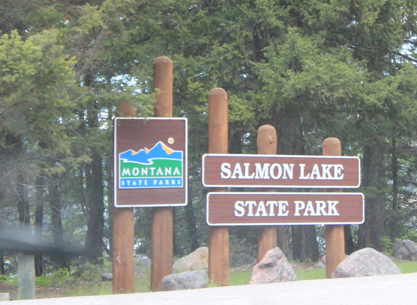 | ||
| About one hour out of Missoula is Route 83 up to Salmon Lake State Park. |
 |
| A quiet lake for fishing, relaxing, and surprise--this is cold water---a water skier. How is this cabin? |

A great dry camping spot with a view.

Or do you prefer a larger model?

Back on Route 200, these are the views as we head towards Rogers Pass at 5,610 feet and the Continental Divide.
 We stopped for this picture.


Jan was able to take this one as we drove.

And just beyond that picture is this property. The main house is in the trees. And---the property is for sale. Any buyers? Just remember the closest town is about 50 or more miles away.
 Eustis is fascinated.


Hard to believe, but this is not too many miles past that point and the Continental Divide. The land quickly changed to this---with a lot of downhill driving.
 Not too far and we are in Great Falls, Montana.
The river is the Missouri and now , on this side of the Continental Divide, the rivers run east and south.
 Great Falls was a big stop along the Lewis and Clark Trail. They thought it was a simple portage around one waterfall. Instead there were five!
 This was the first one. The falls are at the front of the picture. Behind is the dam that now provides hydroelectric power from the building on the right. You can understand why Lewis and Clark needed to portage.
 What they thought was a simple portage for the 18 miles around the five falls turned into 26 days and almost 150 miles to bring the dugouts and baggage in 8 trips. There are some steep hills between!
 This site had a good visual for how the elevation drop on the falls feeds good pressure and flow to the turbine(s) that provide the electricity.
 This is another of the falls, Black Eagle. Again, the falls are in front and the dam built behind with the power plant to the right.
The Lewis and Clark Interpretive Center along River Road was a great stop with a large exhibit center describing and illustrating the Lewis and Clark expedition and this portage in Great Falls .

The river is the Missouri and now , on this side of the Continental Divide, the rivers run east and south.


The Lewis and Clark Interpretive Center along River Road was a great stop with a large exhibit center describing and illustrating the Lewis and Clark expedition and this portage in Great Falls .

Once again, leaving Great Falls, we are presented with views like this alongside Route 200.

Montana is Big Sky country. And we appreciate that along this route. Some of these ranches are close to 100 miles from the nearest town. We traveled over 100 miles from Great Falls to our overnight stop in Lewistown. Only one small town on the way.
On the other hand, these are ranches. And besides the roaming beef stock, they will probably have chickens, maybe a dairy cow or two, some gardens, and perhaps a few other livestock. Oh--and probably a great freezer.


