From Jerome, Jan and I headed east on route 260 .
About 6 miles east of route 17 is Clear Creek Campground in the Coconino National Forest.
A small campground by an active, but small creek, it is a very quiet, pleasant stopover.
Senior card makes it $8 for the night.

Route 260 towards Payson heads up over about 8,000 feet.
Still some leftover snow on the peaks.

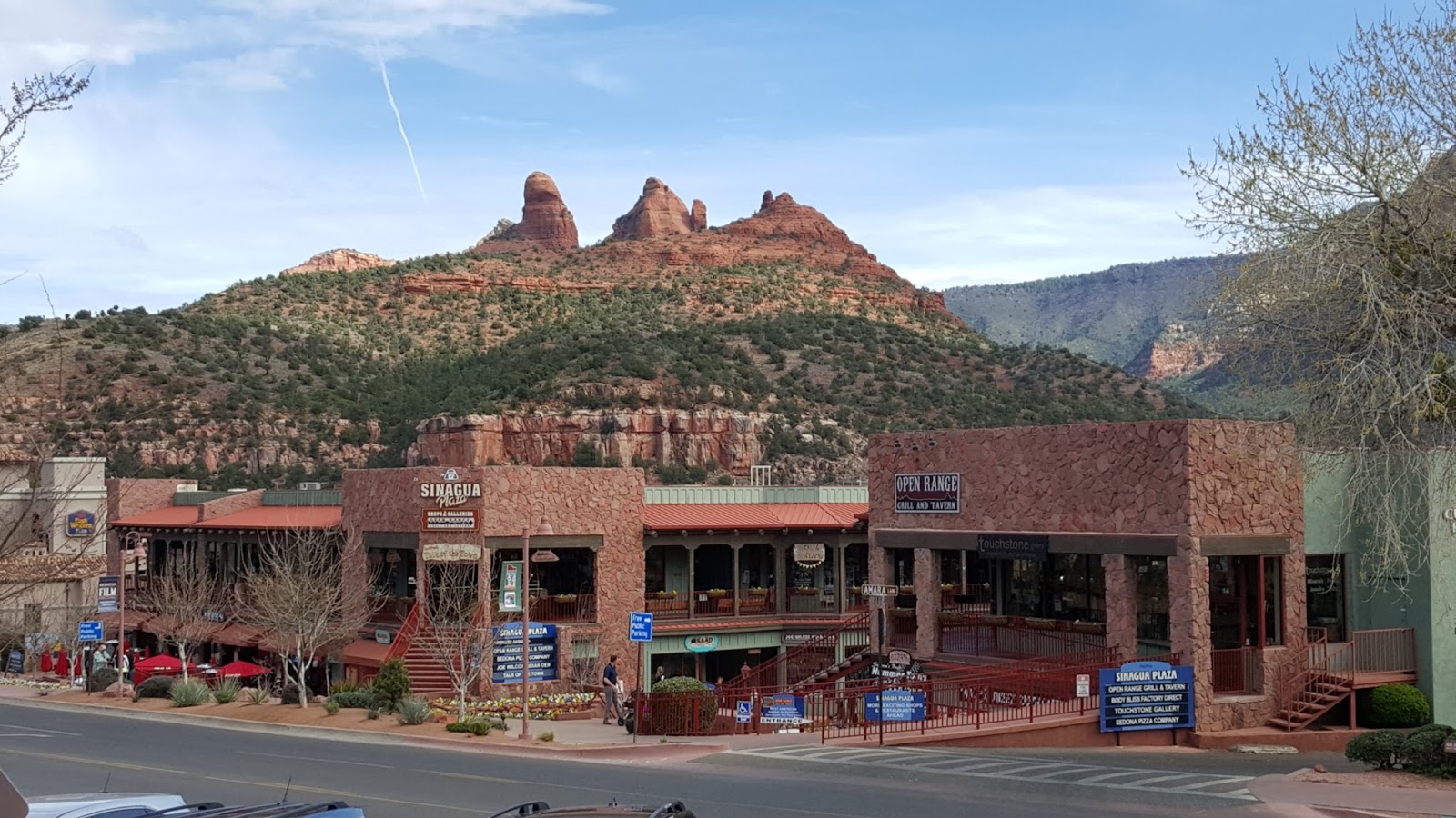
South of Payson, , we take route 188 southeast to Roosevelt Lake , one of our favorite spots.
This year the cost for seniors rose almost 300%!
Well, that's not all that bad. We paid $3 per night last year and now the price was $8 per night.
Next year, it will be $10 per night. This puts the park more in line with other National Forest sites.

This year, the water table is up to around 50% capacity. The workcampers indicated that 2011 was the last time the lake was at full capacity. But, this year is much better than last year and the level was still increasing. Some of the recent snow in the mountains may add even to that.


Okay, maybe just an excuse for another Saguaro picture.
We thought the skeleton Saguaro would give you an idea of how useful this plant was to early
settlers for building materials.

This is a huge park which is greatly underused in the winter.
In the land of sunshine, it is good to see applications of solar.
In this case, 10 large, or 20 small(depending on how you see it)panels
to provide power for the bathroom lights and hot water.

Fishing is very popular and quite good here.
That is 11.34 pounds for this catch in February, 2012.

The fish picture was at the visitor's center as was this demonstration of beading.

In the previous picture you can see the different bead containers and the stretcher they use to weave the beads into different applications.
Under the stretcher that is forming a belt , is what seemed to be a placemat.

This is similar to what was being made on the stretcher.

From Roosevelt we head south on route 188 to Globe and then southwest on route 60 to Florence , south on route 79 to Florence, and then west to Casa Grande.
Out of Globe there are numerous examples of mining operations.
High grade copper is one example.

Winding through the mountains, sometimes a surprise view of a bridge.

At Rovers Roost in Casa Grande, we are stopping to have Marvin Braun of Precision RV do a few maintenance items and upgrades, Above is a new King TV antenna to replace our batwing antenna that needed to be raised and lowered at each stop.
Another replacement was our city water connection which , for some reason, had decided to crack and leak.

A big addition was this 600 watt pure sine wave inverter. Before, we have been using a 12 volt cigarette lighter type connector and a small portable inverter(not pure sine wave) .
It complained loudly when we tried to use the satellite receiver , along with the tv.
The wire leading to the 12 volt plug is quite thin and not happy carrying large amounts of current.
The new inverter, above, is hard wired to the battery with a quite thick wire to carry the current back to the receiver.
The picture is correct, it is installed upside down at the top of the entrance storage unit.
This leaves plenty of room for ventilation and storage.

Up, in the storage bin, we now have a double 110 volt plug.
Works great , even while boondocking and using other electric items

We also had Marvin add one more solar panel.
We now have 4 panels for 400 watts of solar.

Momma is checking the neighborhood before going into the nest.

Momma, heading off for more food

Momma is checking. But look at the size of that beak on the baby!!!

Marvin has done a great job and super neat too!
Once eveything is checked out, we head east on
route 10 to Fort Willcox RV Park at the eastern edge of Arizona.
Willcox was a gathering point for the cattle roundups in earlier 20th century.
It is also the home of Rex Allen, an early cowboy movie star.
And---it is also the junction to head south to Chiricahua National Monument.
This campground is a small, neat campground, away from the highway.
The owner also bakes pies(for sale) and provides a free waffle breakfast.
Good stop.

Also great , is Mother Nature providing a wonderful , last
Arizona sunset.

Since it is the last for now, we had to give you two.

From Willcox, it is a short distance to bring us into New Mexico.
Jan and I decide to head all the way to Las Cruces again, just northwest of El Paso.
We almost didn't go at this time because of the high winds forecast.
But the highest winds waited until after we arrived at Hacienda Park.
For those not familiar with this route 10 stretch, the winds can create huge dust storms that can cut visibility on the highway to zero.

Since we have some time, we take a walk into the old town of Mesilla.
Check back in January for our last stop.
This time we have lunch at Peppers Cafe.
Click on the link and you will see that the building houses two restaurants,
Double Eagle which is a fine dining restaurant and Peppers which is more casual.
We were in Peppers which is the picture at the top right on the link.
Jan had Chicken Mesilla and Bruce had Chicken Fajita.
Bruce also had a Bosque Lager from an Alberquerque microbrewery.
See link Bosque Brewery

From Las Cruces, we head a short distance east on route 10 to route 25 north.
Then we head off northeast on route 70 to White Sands Missile Range Museum.
You can see Jan in awe of many missiles on display.

One thing we did not expect was a stop at the entrance to get a special pass to enter.
The pass required a background check and a picture ID.
We passed!
Inside are a number of early missile units. This facility was created in the 1940's.

This is the WAC Corporal.
It was launched in 1945 and the first man made object to leave the earth's atmosphere.
A number of references here to Dr. Goddard who grew up in Auburn, Mass. and is considered the father of missile research.


White Sands is a testing facility for all kinds of missiles. Some of these names we all know from
the Iraq War and movies.

Other displays are from important events we studied in school.
Above is the Fat Man bomb casing. Fat Bomb was the last nuclear weapon used in war . It was dropped on Nagasaki. The first was Little Boy dropped on Hiroshima on August 6, 1945.
While a terrifying, devastating bomb, it was also an instrument that actually saved many lives on both sides by ending the war quickly. But , at a terrible price.
As high school students in the 50's and 60's, we were required to read
Hiroshima by John Hersey (Pulitzer Prize winning author. )
I hope this is still required reading. Every person should be aware of the horrible
devastation caused by nuclear weapons--and thus be encouraged to use these weapons as deterrents
and hopefully never for any other reason.


A picture of Jack Benny on board the WAC Corporal in 1951.
A little reminiscent of Dr. Strangelove

Another view of some of the outdoor display.


The next stop on route 70 is White Sands National Monument just south of Alamogordo.
Very suggestive of the Cape Cod dunes. But these dunes are made of tiny gypsum grains.

Everything is extremely white!
This is something not allowed on the Cape Cod dunes.
The visitors center offers sleds to ride down the dunes!


Just above White Sands, in Alamogordo, is Boot Hill RV Park.( a lot of references to Billy The Kid here). An old tractor sits close to the highway. Note the tin can over the exhaust and the very secure???? battery. What do you think? Still runs?