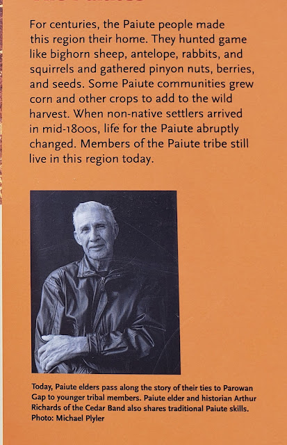
This Monday will mark 3 weeks here at BLM Land above the Parowan Gap near Cedar City, Utah. A number of people have visited here to look at the Petroglyphs. You can almost read their minds, trying to place themselves almost 2,000 years ago.
The signage is great here, explaining the geography and Native American history. 200 million years ago the bedrock lifted up through the wind swept sand dunes that covered much of Utah. An ancient river flowed across the land. As the bedrock layers lifted, the river cut through them. Changing climate dried the river and the Gap became a Wind Gap.
Looking back from the north side , snow covered mountains, app. 10,000 feet or so.
Indian tribes lived here for the past 12,000 years. However, the petroglyphs were created by the Paiutes around 500A.D. Interestingly , the symbols used were mostly universal to all Indian tribes throughout America.
Click Pictures to Enlarge
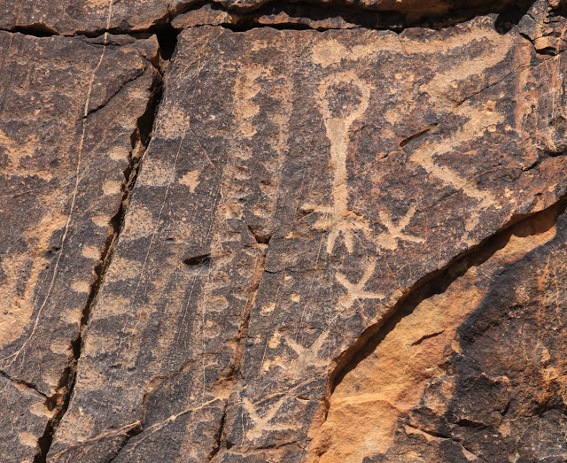
Above: Remember that the icon language was known to most tribes. The upside down bulb represents the leader , who is dead. The gray line represents the travel to this area( a crack in the rock) Other petroglyphs show the sun, the fields, rain and lack of rain, the seasons, and more. Also, there are different interpretations , even by the experts.
For example: showing the Equinox, and multiple solstice. Showing the valley, narrows , and cairns ;rather than the head and neck.
One interpretation is three figures(upper left), another that they are the three moons of winter.
Before the water dried up for farming, note the abundance of wildlife. Including bighorn sheep, antelope, rabbits, and squirrels. Also , besides harvesting wild crops, they grew corn and other crops.
Some of the circular coils represented various tribes. This is sacred ground for the Paiute and Hopi.
The above crosses might represent birds in flight or tracks. The signs indicate that
golden eagles, peregrine and prairie falcons, red tailed hawk, and great horned owls live here. We did see a large hawk on one of our hikes.
Seemingly tentatively balanced boulders at the Gap.
Jan on one of the dirt roads leading from the Gap.
Bruce on one of our hikes above the Gap.
Short video from a hike above our camping spot.
A different video from above our area.
Our version of Full Time Rver Social Distancing.
And while relaxing in Lady Blue, a family passes by on a horse ride. Looks like Dad and young son in front. Giving an extra horse some exercise on a lead, And perhaps a daughter on her own horse.


No comments:
Post a Comment